SMRTR Sensors
Sub Surface Certainty Above-Ground Confidence
Solar is growing fast — but hidden infrastructure keeps slowing it down. SMRTR Sensors helps you build smarter, safer, and without surprises.
For SMRTR Planning
SMRTR Sensors
Here to Help
Smrtr Sensors started beneath the boots of independent farmers. At first, we were scanning fields to help growers find their old tile lines — the kind of infrastructure that was often mapped decades ago on napkin sketches by their great-grandparents. It wasn’t high-tech, but it was vital. And with the help of our ground-penetrating radar (GPR) system, we brought those napkin maps to life — pinpointing subsurface tile with GPS precision, all without disturbing the soil.But as we scanned more and more fields, we saw a bigger opportunity taking root: the green energy boom.Solar developers were facing the same problem — only larger and more expensive. Unknown tile lines. No reliable subsurface records. Construction delays. Landowner disputes. Conventional tile mapping was slow, costly, and destructive. These teams needed a better way to see what was underground before breaking ground.That’s where SMRTR Sensors evolved.Backed by an engineering background in agriculture and GPR, we built a system that delivers fast, decision-ready subsurface maps. Whether you're trenching for conduit or driving piles, our scans help developers avoid costly surprises while preserving landowner trust.And the name? SMRTR Sensors just made sense. Everything claims to be "smart" — we wanted to be smarter. And our clients agree: once they see how fast, accurate, and easy it is to use our service, SMRTR becomes a no-brainer.

SMRTR Sensors
Subsurface Scanning
High-resolution GPR mapping of tile lines, utilities, and buried risk.
We use advanced multi-channel ground-penetrating radar to scan farmland, brownfields, and project sites — with no digging, no damage, and full GPS integration.✅ Detect drainage tile, legacy infrastructure, unknown utilities
✅ Scan hundreds of acres quickly and accurately
✅ Preserve soil structure and landowner trust
SMRTR Sensors
SMRTR Service
Rapid Turnaround & On-Demand DeploymentFast, flexible field services to keep your project moving.
We mobilize quickly to meet project deadlines — delivering fast scans, fast maps, and responsive support. Whether you're prepping a 20-acre pilot or a 300-acre array, we’re ready.⚡ Single-operator field unit = efficient setup
⚡ Data delivered in days, not weeks
⚡ Support for multi-site or phased projects
SMRTR Sensors
Geo-Mapped Deliverables
Clean, usable maps — ready for your team.
We convert raw GPR data into geo-referenced maps compatible with your CAD, GIS, and planning tools — so your crews know exactly where to dig and where to avoid.📍 CAD, KMZ, or PDF formats
📍 Coordinate-based data overlays
📍 Delivered fast, no special software needed
SMRTR Sensors
SMRTR Vision
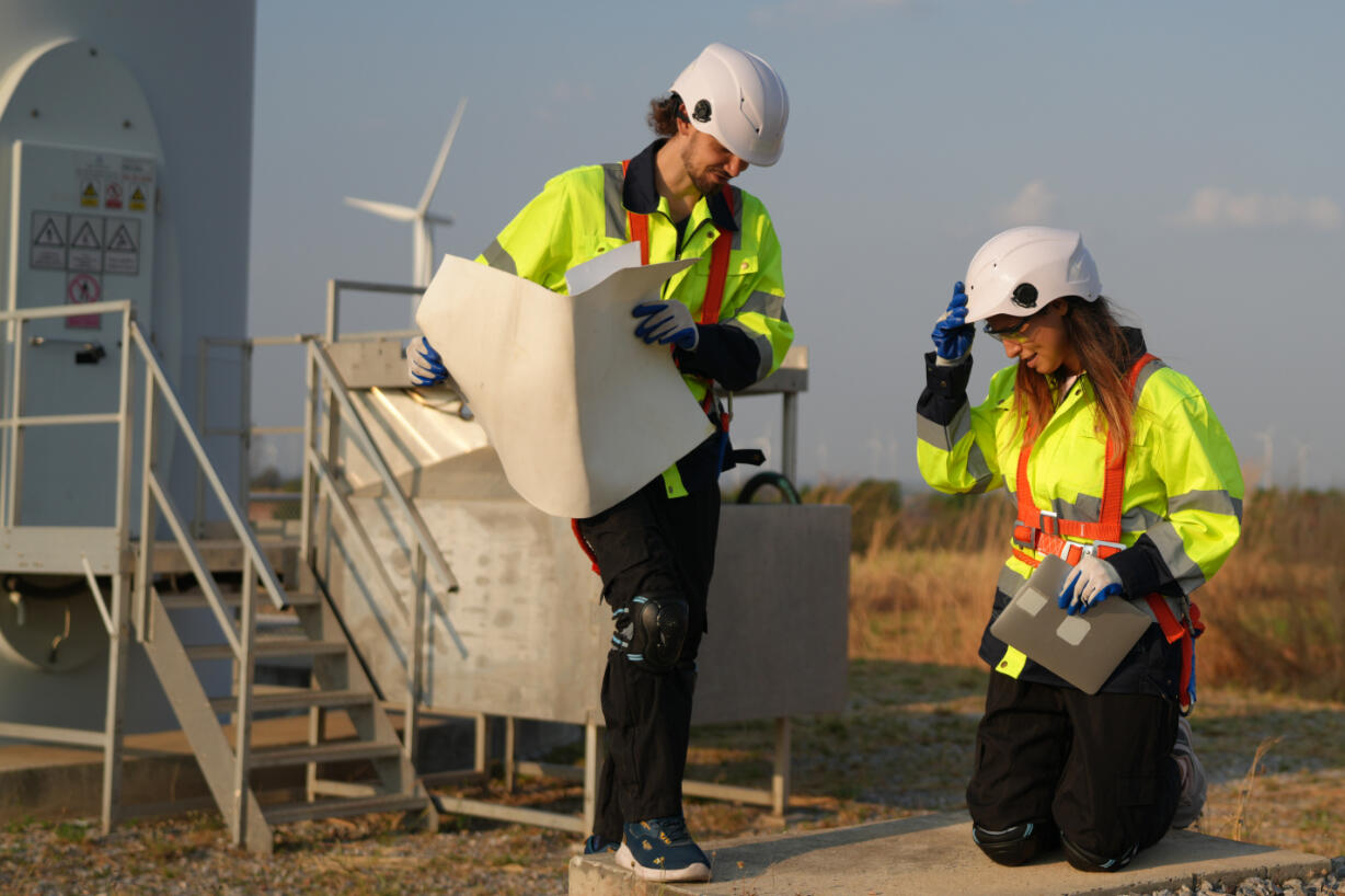
We believe green energy should be fast, affordable, and scalable. Our mission is to help accelerate solar development across the U.S. by lowering installation costs and keeping projects on track — one smarter scan at a time.
SMRTR Sensors
Just need some Info?
We get it, maybe you're not ready for a Demo
Fill out the form below, we'll send you more information about who we are and what we do. We want to show you how Smrtr Sensors can help you avoid tile damage, streamline site prep, and build smarter from day one.
OR
🔹SMRTR Sensors📍Based in Denver
Serving the U.S. and Canada
📞 Phone
+1(720) 371-9672
📧Email
[email protected]
🌐 Website
www.smrtrsensors.com